nwSnowboarding.com 2.0
Forecasts
Unknown Location
No tables found on the page for Unknown Location.Issued by: National Weather Service Pendleton, OR
Last Update: 4:20 am PST Jan 15, 2026
Tonight: Mostly clear, with a low around 32. Calm wind.
Friday: Sunny, with a high near 43. Light east wind.
Friday Night: Clear, with a low around 31. Calm wind.
Saturday: Sunny, with a high near 43. Light east wind.
Saturday Night: Mostly clear, with a low around 31.
Sunday: Sunny, with a high near 46.
Sunday Night: Mostly clear, with a low around 32.
M.L.King Day: Sunny, with a high near 46.
Monday Night: Mostly clear, with a low around 33.
Tuesday: Mostly sunny, with a high near 46.
Tuesday Night: Partly cloudy, with a low around 32.
Wednesday: A slight chance of rain and snow. Mostly sunny, with a high near 42.
47.41°N 121.41°W (Elev. 2812 ft)
Issued by: National Weather Service Seattle, WA
Last Update: 1:26 am PST Jan 15, 2026
Tonight: Mostly clear, with a low around 28. East northeast wind around 6 mph.
Friday: Sunny, with a high near 38. Wind chill values between 22 and 32. East wind around 6 mph.
Friday Night: Clear, with a low around 26. Wind chill values between 19 and 24. East wind around 7 mph.
Saturday: Sunny, with a high near 38. East wind around 6 mph.
Saturday Night: Clear, with a low around 28.
Sunday: Sunny, with a high near 41.
Sunday Night: Mostly clear, with a low around 28.
M.L.King Day: Sunny, with a high near 41.
Monday Night: Mostly clear, with a low around 29.
Tuesday: Mostly sunny, with a high near 41.
Tuesday Night: Partly cloudy, with a low around 28.
Wednesday: A slight chance of snow. Mostly sunny, with a high near 38.
47.75°N 121.09°W (Elev. 4879 ft)
Issued by: National Weather Service Seattle, WA
Last Update: 1:26 am PST Jan 15, 2026
Tonight: Clear, with a low around 34. Wind chill values between 25 and 30. East wind around 14 mph, with gusts as high as 24 mph.
Friday: Sunny, with a high near 45. East northeast wind 10 to 14 mph, with gusts as high as 24 mph.
Friday Night: Clear, with a low around 32. Wind chill values between 24 and 29. East wind around 13 mph, with gusts as high as 22 mph.
Saturday: Sunny, with a high near 47. East wind 7 to 11 mph, with gusts as high as 20 mph.
Saturday Night: Clear, with a low around 34.
Sunday: Sunny, with a high near 47.
Sunday Night: Mostly clear, with a low around 34.
M.L.King Day: Sunny, with a high near 47.
Monday Night: Partly cloudy, with a low around 34.
Tuesday: Partly sunny, with a high near 44.
Tuesday Night: Partly cloudy, with a low around 31.
Wednesday: A slight chance of snow. Partly sunny, with a high near 39.
48.86°N 121.68°W (Elev. 4265 ft)
Issued by: National Weather Service Seattle, WA
Last Update: 1:26 am PST Jan 15, 2026
Tonight: Mostly clear, with a low around 28. Wind chill values between 18 and 23. East southeast wind around 15 mph, with gusts as high as 28 mph.
Friday: Sunny, with a high near 39. Wind chill values between 19 and 29. East southeast wind 13 to 15 mph, with gusts as high as 29 mph.
Friday Night: Clear, with a low around 26. Wind chill values between 15 and 20. Southeast wind around 16 mph, with gusts as high as 30 mph.
Saturday: Sunny, with a high near 40. Southeast wind 11 to 15 mph, with gusts as high as 30 mph.
Saturday Night: Mostly clear, with a low around 30.
Sunday: Sunny, with a high near 43.
Sunday Night: Clear, with a low around 29.
M.L.King Day: Sunny, with a high near 44.
Monday Night: Mostly clear, with a low around 31.
Tuesday: Mostly sunny, with a high near 44.
Tuesday Night: Mostly cloudy, with a low around 29.
Wednesday: A slight chance of snow. Mostly sunny, with a high near 39.
46.93°N 121.49°W (Elev. 5233 ft)
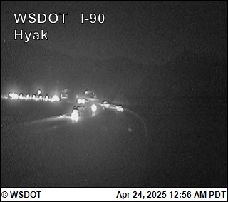
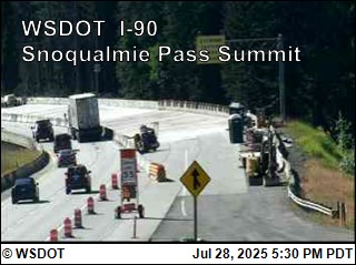
WSDOT
Snoqualmie Pass I-90
1/15/2026 3:01 AM
Temperature: 35°F
Eastbound
No restrictions
Westbound
No restrictions
Conditions:
Bare and dry, wet in places
Weather:
Clear skies
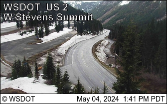
Stevens Pass US 2
1/15/2026 3:38 AM
Temperature: 39°F
Eastbound
No restrictions
Westbound
No restrictions
Conditions:
Bare and wet, with frost and ice in places.
US 2 is still closed at MP 85, Coles Corner, 21 miles East of the summit and no freight traffic is allowed on the Chumstick Detour.
Weather:
Overcast.